Mount Everest, the highest mountain in the world, is located in the Himalayas on the border between Nepal and Tibet (China). It is part of the Mahalangur Himal sub-range of the Himalayas, with its southern side in Nepal and its northern side in Tibet. If you’re interested in exploring more about the best months for trekking in Nepal, check out our guide on 5 Perfect Months for Trekking in Nepal.
What Country is Mount Everest In?
Mount Everest is shared by two countries: Nepal and China (Tibet Autonomous Region). The south face of Everest falls within Nepal’s Sagarmatha National Park, while the north face lies in Tibet, China. For those planning a trek in Nepal, you might find it helpful to learn what to expect from the weather in Nepal during your travels: What To Expect From The Weather In Nepal.
Is Mount Everest in Nepal or Tibet?
Mount Everest is geographically located on the border of Nepal and Tibet. While the mountain itself is shared, the most popular and widely used climbing route is from Nepal via the South Col route. The northern route, from Tibet, is also accessible but requires a permit from the Chinese government.
How High is Mount Everest?
Mount Everest stands at an elevation of 8,848.86 meters (29,031.7 feet) above sea level, as confirmed by recent surveys conducted by China and Nepal in 2020.
What is the Location of Mount Everest on a World Map?
Mount Everest can be pinpointed using its precise coordinates: 27.9881° N, 86.9250° E. You can find it in the Himalayas, straddling the border between Nepal and Tibet, and it is marked on most world maps and digital mapping platforms like Google Earth.
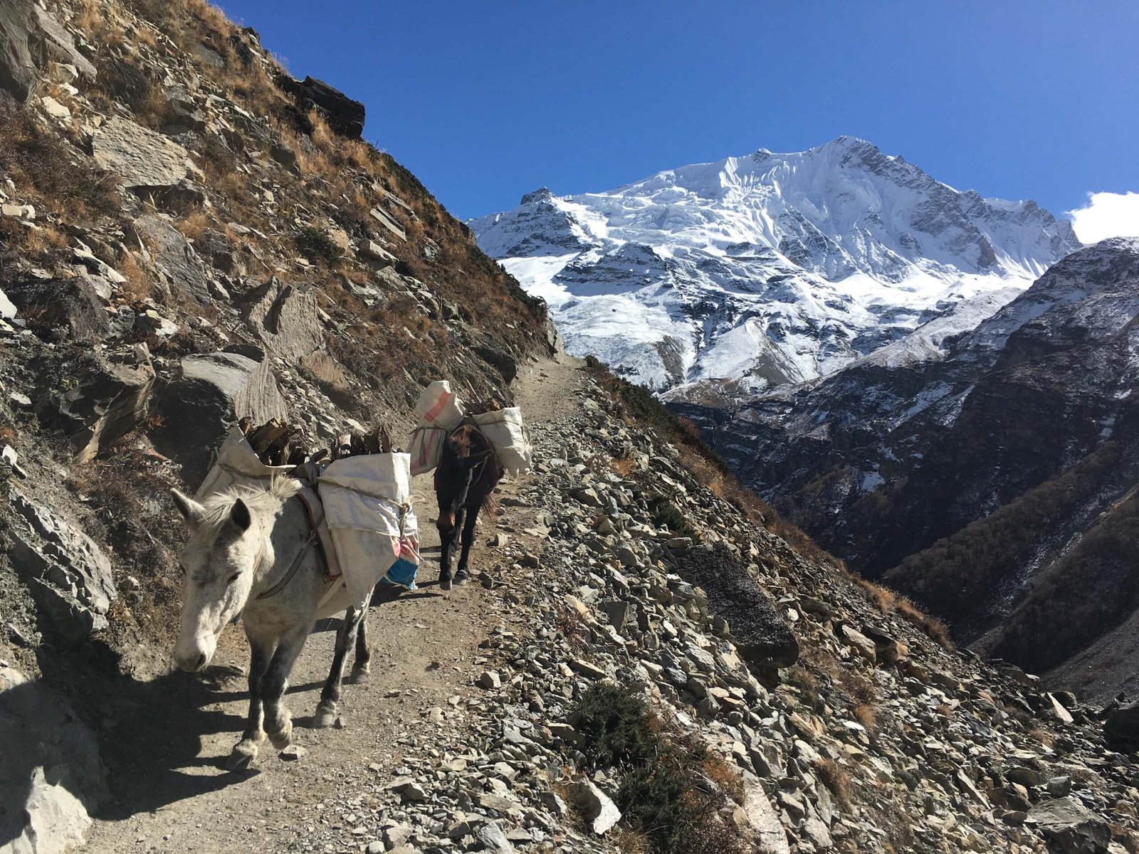
Where is the Base Camp of Mount Everest?
There are two base camps for Mount Everest:
South Base Camp (Nepal): Located at 5,364 meters (17,598 feet) in the Sagarmatha National Park, it is the most commonly used base camp for expeditions.
North Base Camp (Tibet): Located at 5,200 meters (17,060 feet), accessible by road from Tibet, but requires special permits for foreign travelers.
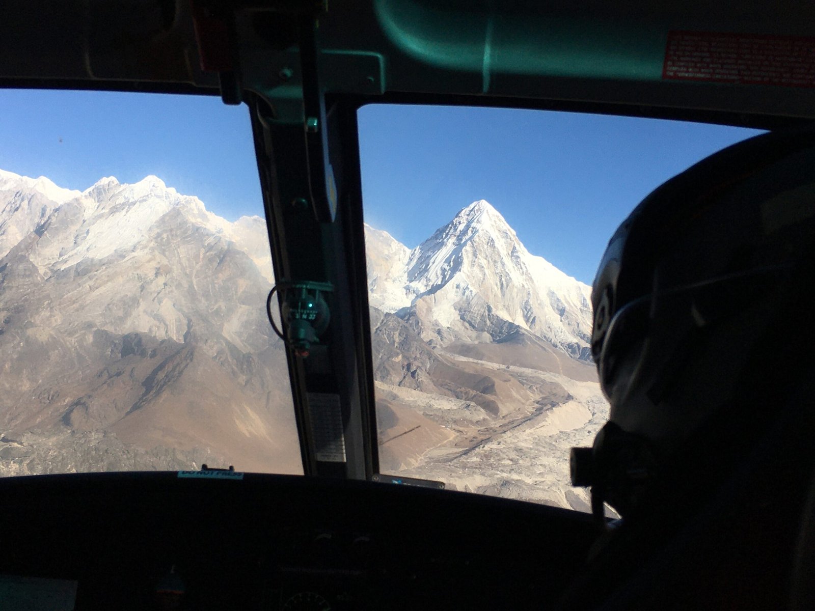
How Far is Mount Everest from Kathmandu?
Mount Everest is approximately 160 kilometers (100 miles) from Kathmandu in a straight line. However, due to the challenging Himalayan terrain, reaching Everest Base Camp from Kathmandu involves either a 35-minute flight to Lukla followed by a multi-day trek or a long overland journey via Jiri.
What is the Significance of Mount Everest?
Mount Everest holds immense geographical, cultural, and spiritual significance. As the highest peak on Earth, it attracts climbers from around the world seeking adventure and challenge. For local Sherpa communities, Everest (Sagarmatha in Nepali, Chomolungma in Tibetan) is considered sacred, embodying the spiritual essence of the Himalayas. Read more about the religious significance of mountains in Nepal: The Religious Significance and History Behind Nepal’s Mountains.
How Was Mount Everest Formed?
Mount Everest was formed around 60 million years ago due to the collision of the Indian and Eurasian tectonic plates. This massive geological uplift created the Himalayas, and even today, Everest continues to rise due to ongoing tectonic activity.
Frequently Asked Questions
Where is Mount Everest located?
Mount Everest is located in the Himalayas, on the border of Nepal and Tibet (China).
What country is Mount Everest in?
Mount Everest is shared between Nepal and China (Tibet Autonomous Region).
Is Mount Everest in Nepal or Tibet?
Mount Everest is geographically on the border of Nepal and Tibet.
How high is Mount Everest?
Mount Everest stands at 8,848.86 meters (29,031.7 feet) above sea level.
What is the location of Mount Everest on a world map?
Coordinates: 27.9881° N, 86.9250° E.
Where is the base camp of Mount Everest?
There are two base camps: South Base Camp in Nepal (5,364m) and North Base Camp in Tibet (5,200m).
How far is Mount Everest from Kathmandu?
It is 160 kilometers (100 miles) from Kathmandu.
What is the significance of Mount Everest?
It is the highest peak on Earth and holds spiritual and cultural significance, particularly among the Sherpa and Tibetan communities.
How was Mount Everest formed?
Everest was formed by the collision of the Indian and Eurasian tectonic plates about 60 million years ago.
What are the coordinates of Mount Everest?
27.9881° N, 86.9250° E.
Is Mount Everest growing?
Yes, Everest is growing at 4 millimeters per year.
What is the best time to visit Mount Everest?
The best seasons are pre-monsoon (March-May) and post-monsoon (September-November).
How many people have climbed Mount Everest?
Over 6,000 climbers have summited Everest.
What are the dangers of climbing Mount Everest?
Dangers include extreme altitude, harsh weather, avalanches, frostbite, and hypoxia.
What is the cultural significance of Mount Everest?
It is revered as a sacred mountain in both Nepali and Tibetan traditions.
What is the weather like at Mount Everest?
Temperatures can range from -36°C (-33°F) in winter to -19°C (-2°F) in summer.
How long does it take to climb Mount Everest?
A typical expedition lasts 6 to 9 weeks.
What is the cost of climbing Mount Everest?
It costs between $30,000 and $130,000.
What are the different routes to climb Mount Everest?
There are two main routes: South Col Route (Nepal) and North Ridge Route (Tibet).
What is the death zone on Mount Everest?
The “Death Zone” is above 8,000 meters (26,247 feet), where oxygen is critically low.
How many deaths have occurred on Mount Everest?
Over 300 climbers have died attempting the summit.
What is the history of Mount Everest climbs?
The first successful summit was on May 29, 1953, by Sir Edmund Hillary and Tenzing Norgay.
What are the names of Mount Everest in different languages?
Nepali: Sagarmatha (“Goddess of the Sky”)
Tibetan: Chomolungma (“Goddess Mother of the World”)
English: Mount Everest, named after Sir George Everest.